Land information with a clear chain of reasoning.
LandSight is a South Africa-focused surveying, geospatial and development-consulting practice built around fit-for-purpose evidence and disciplined handover.
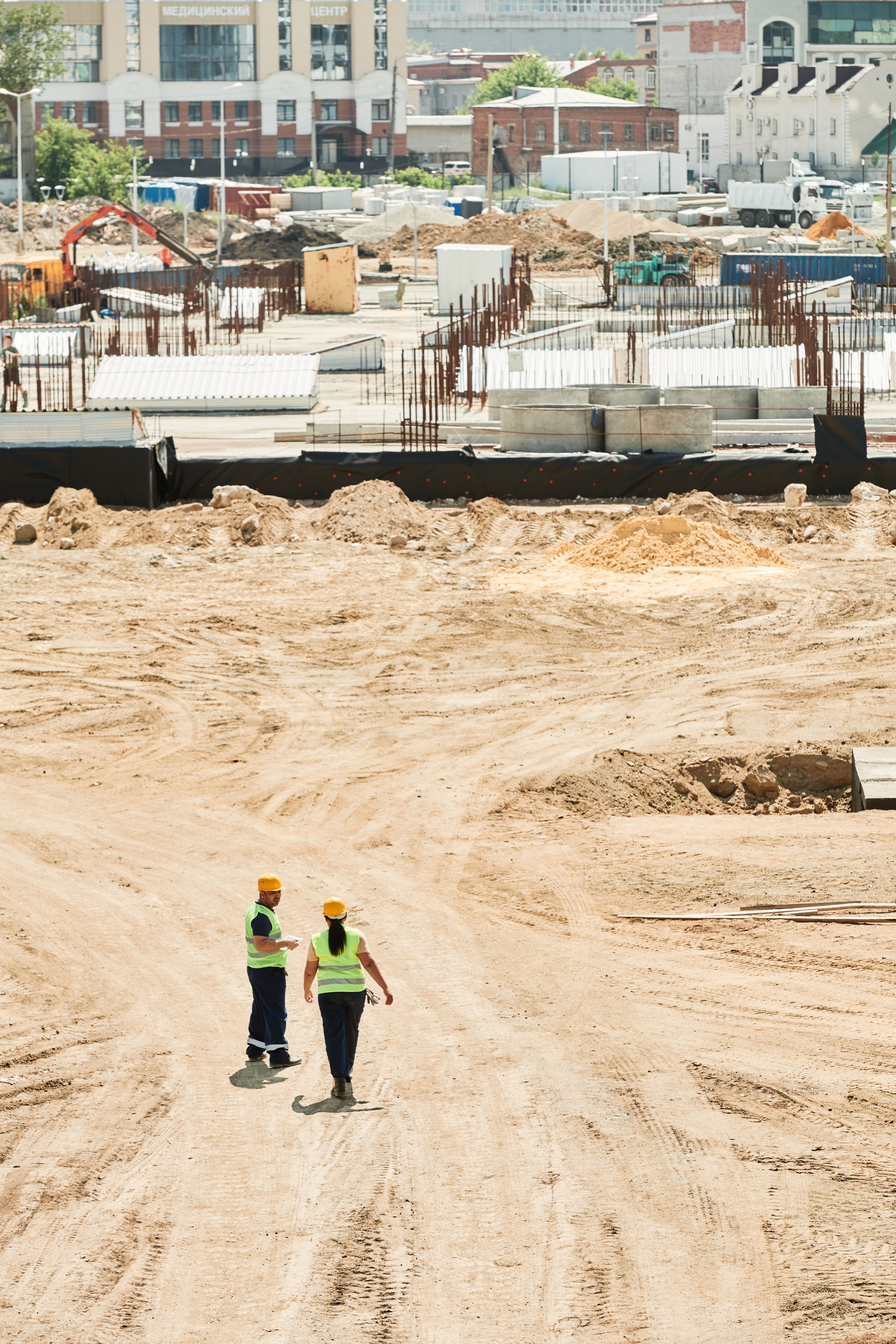
Integrated does not mean unregulated
Land projects benefit when survey, GIS and development questions are considered together. Each professional still works within their competence and statutory role. LandSight’s proposal identifies where registered land-surveying, planning, engineering, environmental, legal or authorised aviation input is required.
We avoid false precision
A colourful map, dense point cloud or many decimal places can still be unsuitable for the decision. Source, date, scale, control, method and intended use remain part of the output.
We organise uncertainty
Early development work often contains gaps. Instead of hiding them, we distinguish confirmed records, indicative datasets, field evidence and matters awaiting authority or specialist confirmation.
Consultation locations
Project discussions can be arranged at Workshop17 Ballito or Workshop17 Hyde Park Corner. These are real meeting venues, not LandSight-owned public offices, and require an appointment. Field meetings take place at the project site under agreed access and safety arrangements.