Treat legal boundaries as legal work.
Boundary questions begin with title and survey records and may require physical evidence, professional judgement and statutory cadastral processes.
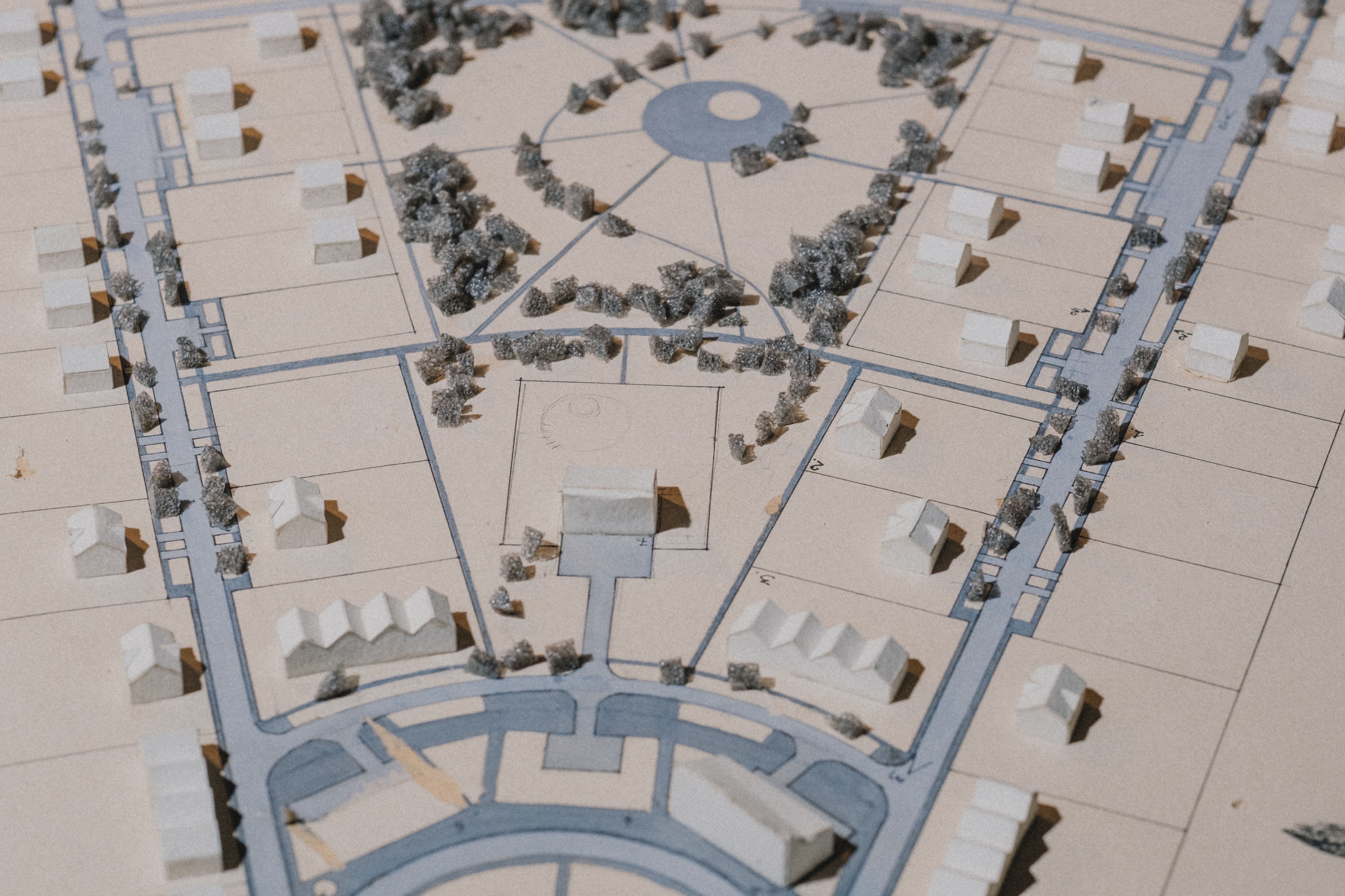
Boundary investigation
A credible investigation may consider title descriptions, Surveyor-General records, diagrams, general plans, beacons, occupation and prior survey evidence. The significance of each item is assessed by the registered professional responsible for the cadastral work.
Beacon and boundary concerns
A missing, disturbed or disputed beacon should not be replaced from a consumer map or informal coordinate. It requires appropriate professional assessment and, where applicable, statutory procedure.
Subdivision and consolidation
Land-use approval, cadastral survey and registration are connected but distinct processes involving different professionals and authorities. Programme and responsibility should be mapped before the owner assumes one approval completes all stages.
Sectional title and related surveys
Specialised statutory requirements apply. LandSight can help define the information flow and coordinate the right registered input, with appointment and authority confirmed in the project proposal.
Before construction near a boundary
Confirm which line is being relied on, who established it, when it was surveyed and whether design offsets or building lines are separate constraints.