Housing & mixed use
Title, terrain, access, services, density and interfaces with existing neighbourhoods.
The question, risk and downstream user determine what needs to be surveyed, analysed and documented.
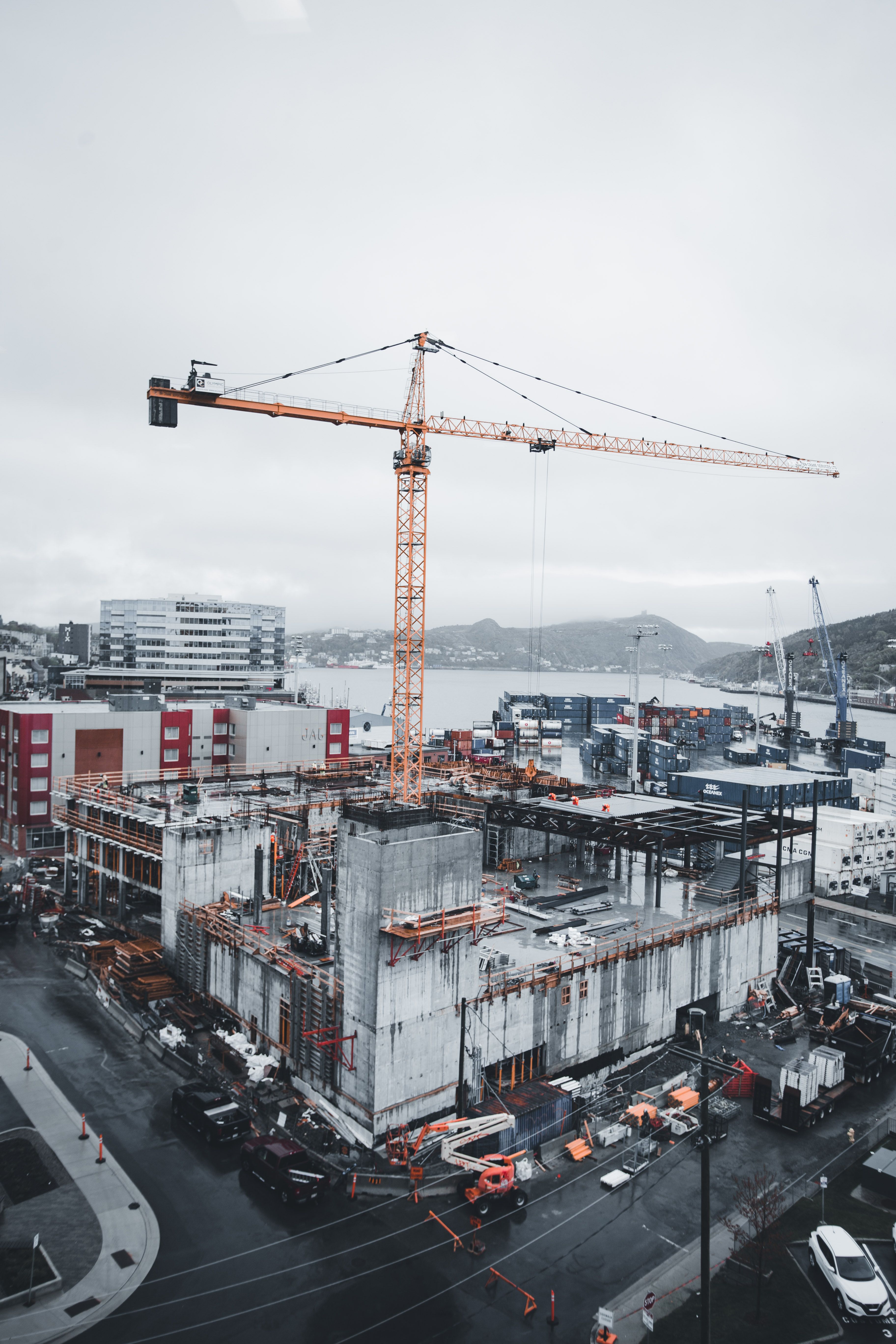
Title, terrain, access, services, density and interfaces with existing neighbourhoods.
Existing structures, tight boundaries, levels, rights and construction coordination.
Large platforms, heavy access, drainage, corridors and phased development information.
Linear control, interfaces, record consistency, route constraints and as-built information.
Large-area terrain, access, servitudes, environmental interfaces and construction layout.
Access, existing use, service context and transparent project information for multidisciplinary teams.
We will identify what information exists, what needs to be measured and which registered or specialist inputs the project requires.