Site surroundings
Roads, settlement, facilities, land use and environmental layers viewed around the parcel rather than in isolation.
LandSight organises spatial data to examine access, terrain, proximity, constraints, service areas and change across individual sites or portfolios.
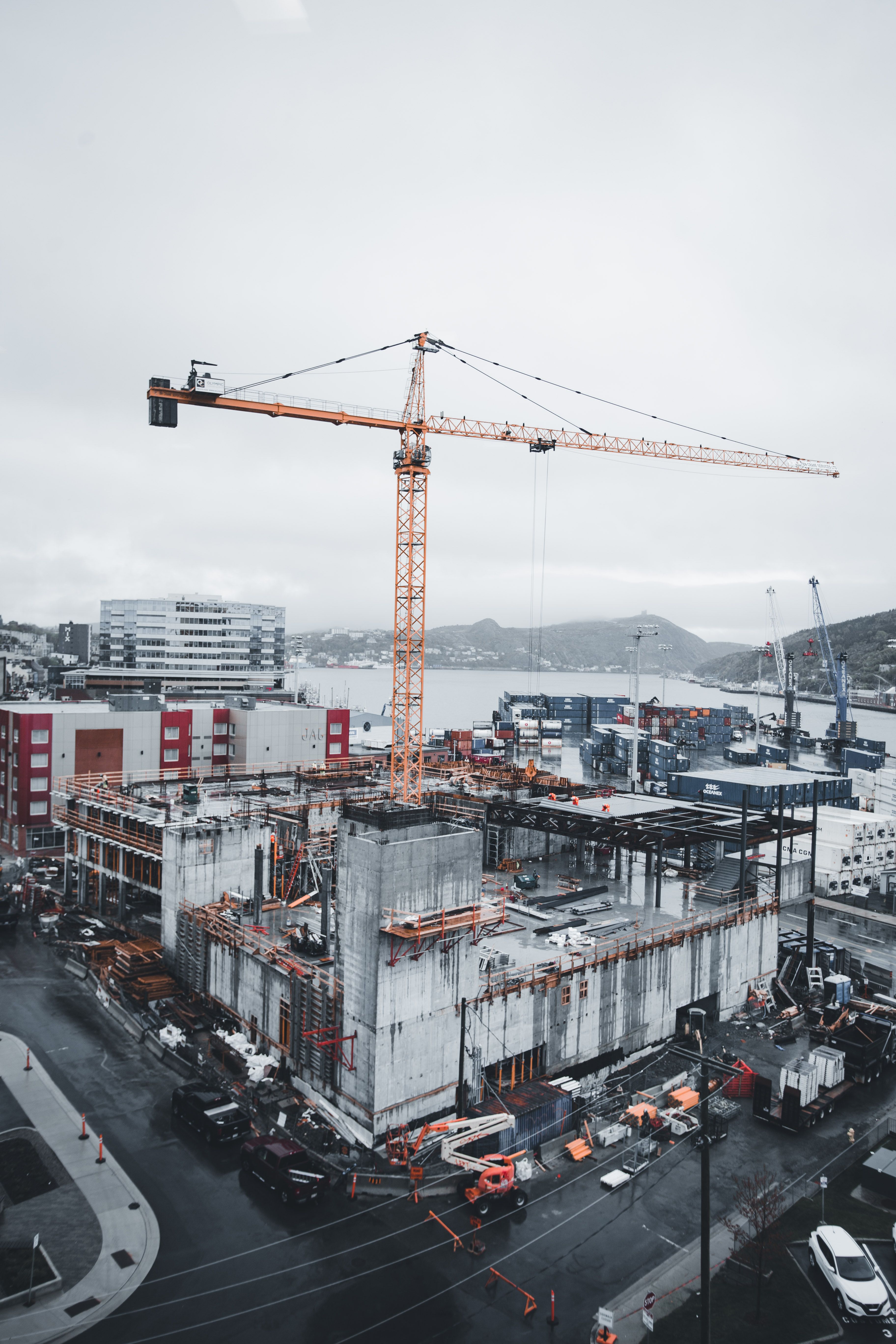
Roads, settlement, facilities, land use and environmental layers viewed around the parcel rather than in isolation.
Terrain indicators used for early comparison, with detailed design still requiring suitable survey and engineering.
Travel, proximity and network relationships examined with stated assumptions and available data quality.
Multiple datasets combined to highlight intersections that need specialist or authority confirmation.
Imagery or datasets compared carefully, accounting for date, resolution and classification differences.
Consistent indicators used to rank where deeper due diligence should happen first.
We will identify what information exists, what needs to be measured and which registered or specialist inputs the project requires.