One source of spatial truth needs disciplined handling.
Our workflow makes the brief, references, versions, limitations and responsible approvals visible from enquiry to handover.
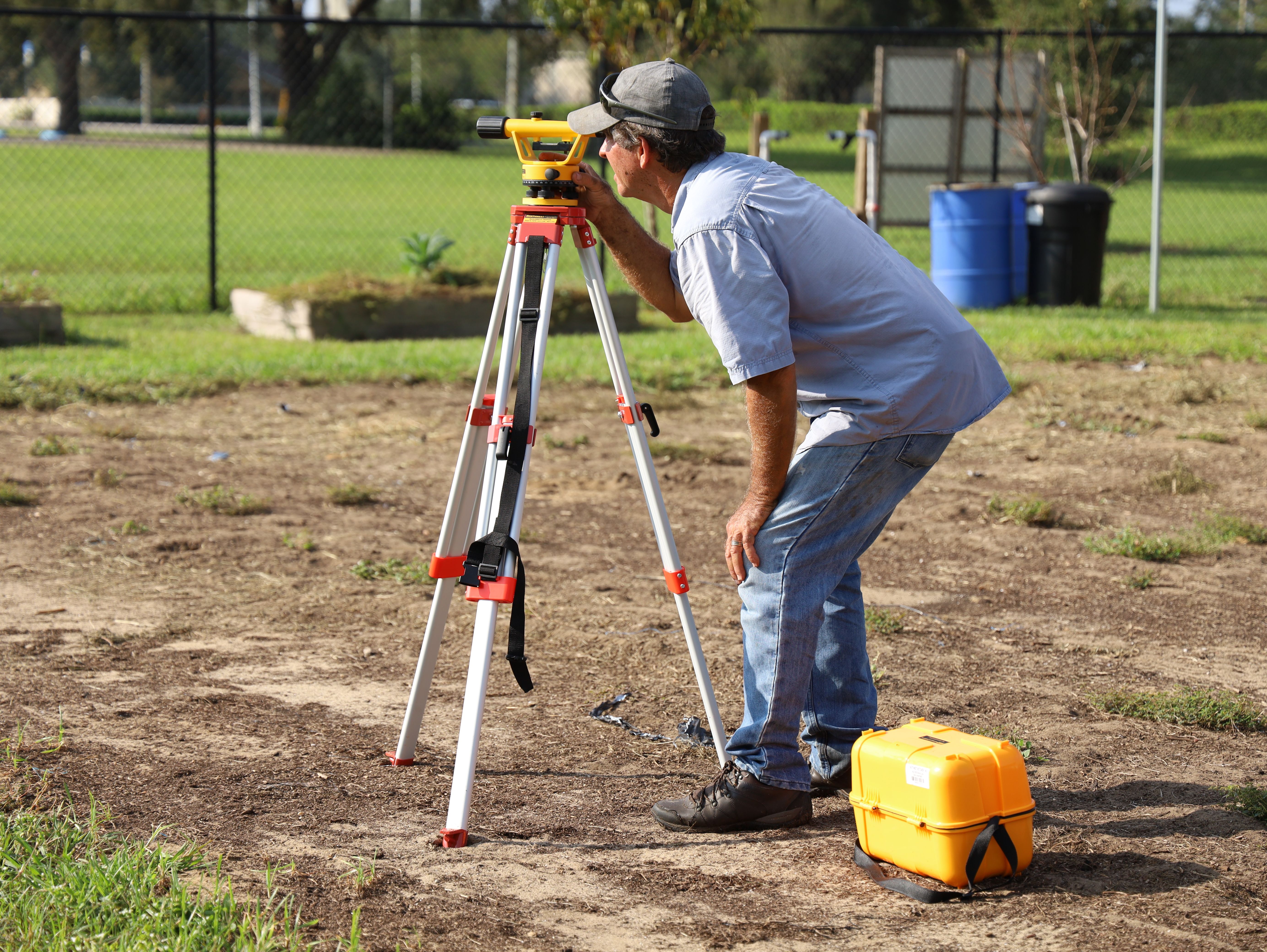
Define before measuring.
The same site can support very different survey questions. We begin with the decision the information must support, then define method, control, format and responsibility.
Frame the question
Site, purpose, authority, known records, programme and downstream users.
Review inputs
Title information, prior plans, coordinate systems and available base data.
Measure the site
Agreed field or aerial methods, control checks and access constraints.
Build the dataset
Quality review, calculations, feature coding and fit-for-purpose modelling.
Issue with context
Files, versions, limitations, coordinate reference and responsible sign-off.
Project brief
The proposal states purpose, extent, assumptions, exclusions, deliverables, programme and which regulated professionals or authorisations are required.
Reference system
Coordinate reference, datum, units and any site grid relationship are recorded. Transformations are not applied casually or left undocumented.
Source register
Received plans, title information, authority data and client files are recorded with dates and status. Supplied data is checked to the extent agreed, not silently warranted.
Revision control
File names, issue dates and superseded status should be understandable outside the author’s computer. Construction-critical changes need an agreed communication route.
Quality review
Checks are matched to purpose: closures, independent observations, check points, cross-file comparison or professional review as appropriate.
Close-out
The issue package states what was delivered, its reference, limitations, software or format considerations and any unresolved actions.