LandSight / Data & deliverables
Data & deliverablesA file without context is a future problem.
LandSight handovers pair spatial outputs with the references, versions and limitations needed to use them responsibly.
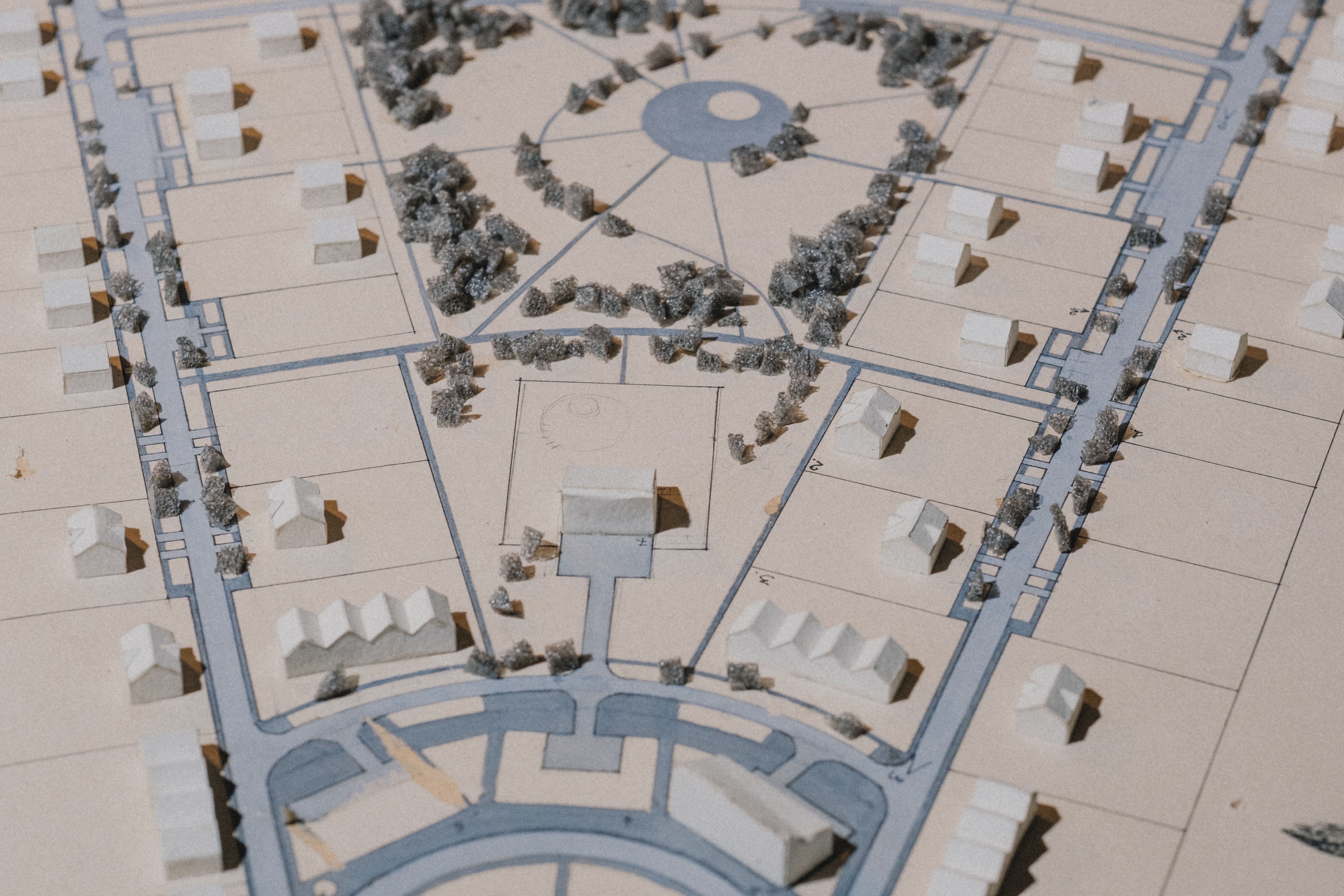
CAD
Drafting files
Units, layers, blocks, feature codes, reference and file version agreed with the design team.
GIS
Spatial datasets
Geometry, attributes, coordinate reference, source and date provided in a usable schema.
SURFACE
Terrain models
Breaklines, point density, interpolation choices and intended use documented where relevant.
IMAGERY
Orthomosaic or photos
Capture date, resolution, control, coverage and privacy or licence constraints stated.
PDF
Readable issue plans
Scale, sheet, north, legend, coordinate grid, revision and professional sign-off as required.
REGISTER
Issue note
File list, source summary, assumptions, limitations and outstanding questions accompany the data.
Digital caution: File conversion, reprojection and software import can change precision, units or geometry. The receiving team should check the imported dataset before design or construction use.