The right survey for the decision.
LandSight coordinates and scopes field measurement for design, title, construction and asset-information needs across varied South African sites.
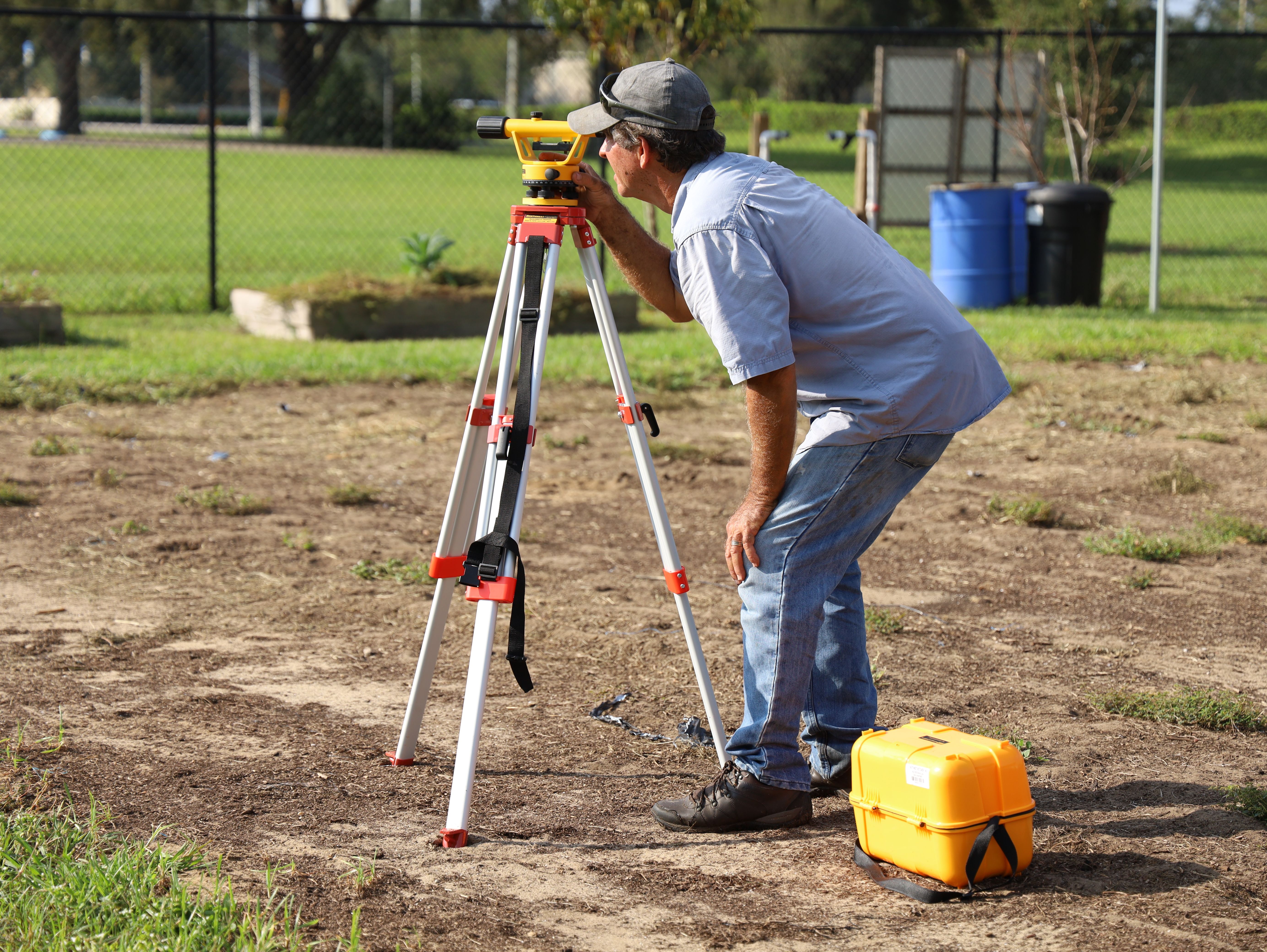
Design and topographic information
Visible features, levels and terrain are captured to a scope agreed with the architect, engineer, planner or other downstream user. The brief should identify required detail, limits, coordinate reference and features that need specialist investigation.
Boundary and cadastral work
Boundary determination, subdivision, consolidation and other statutory cadastral functions must be undertaken and signed by an appropriately registered Professional Land Surveyor in accordance with South African requirements. LandSight identifies the need and coordinates suitable professional input rather than implying unverified authority.
Construction measurement
Setting-out, control transfer and as-built checks require current issued design information, stable control, defined tolerances and a record of what was marked or measured.
Existing records
Old plans, title documents and supplied coordinates are inputs to be reviewed, not automatically accepted as reliable ground truth. Conflicts are flagged for the responsible professional team.
Define before measuring.
The same site can support very different survey questions. We begin with the decision the information must support, then define method, control, format and responsibility.
Frame the question
Site, purpose, authority, known records, programme and downstream users.
Review inputs
Title information, prior plans, coordinate systems and available base data.
Measure the site
Agreed field or aerial methods, control checks and access constraints.
Build the dataset
Quality review, calculations, feature coding and fit-for-purpose modelling.
Issue with context
Files, versions, limitations, coordinate reference and responsible sign-off.