Aerial capture with a defined ground purpose.
Drone imagery can document inaccessible or extensive sites efficiently, but flight legality, control, vegetation, surface conditions and required output quality must be addressed first.
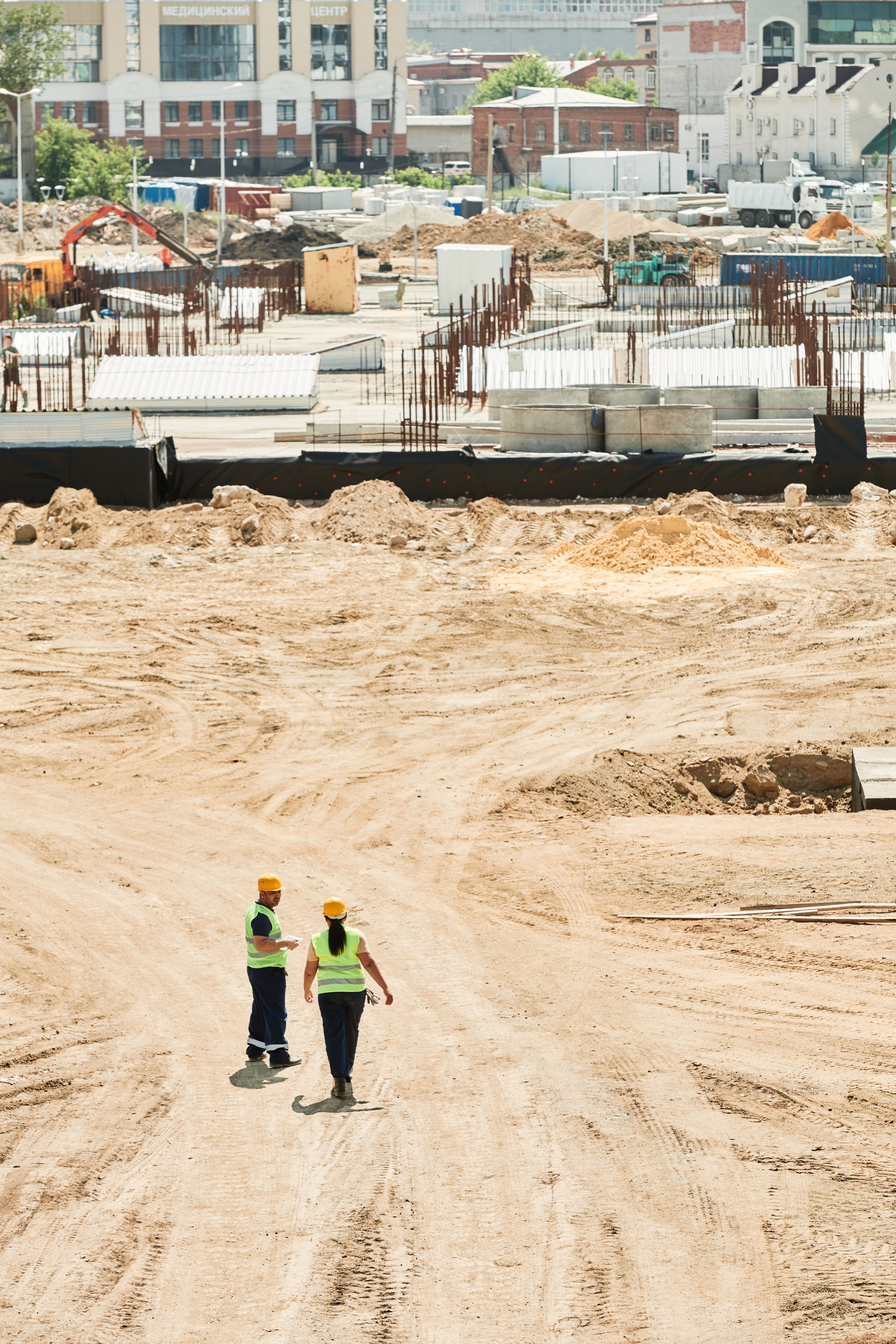
Authorised operations
Commercial drone operations in South Africa are subject to aviation requirements. Where aerial capture is proposed, the project must use appropriately authorised operators, pilots and permissions for the location and operation. Availability depends on airspace, weather, site risk and approvals.
Ground control and checks
Required accuracy influences ground control, check points, flight parameters and processing. A visually sharp image is not evidence that coordinates or levels meet a survey requirement.
Possible outputs
Depending on the method and scope, outputs may include orthomosaic imagery, dense point information, surface models, contours or progress comparisons. Vegetation and concealed ground can limit terrain representation.
Privacy and neighbours
Flight planning should consider adjacent properties, people, sensitive operations and what imagery will be retained. Data access and retention are agreed before capture.
When ground survey remains necessary
Boundaries, obscured detail, high-precision control, legal survey and critical construction interfaces may require ground methods or registered professional involvement.